Scrub through 4,000 years
of history on one map.
Drag the epoch slider from 2000 BCE to today: borders morph between historical snapshots, events surface around their dates, and famous journeys replay as animated routes — from Magellan's circumnavigation to the thinkers of Meiji Japan.
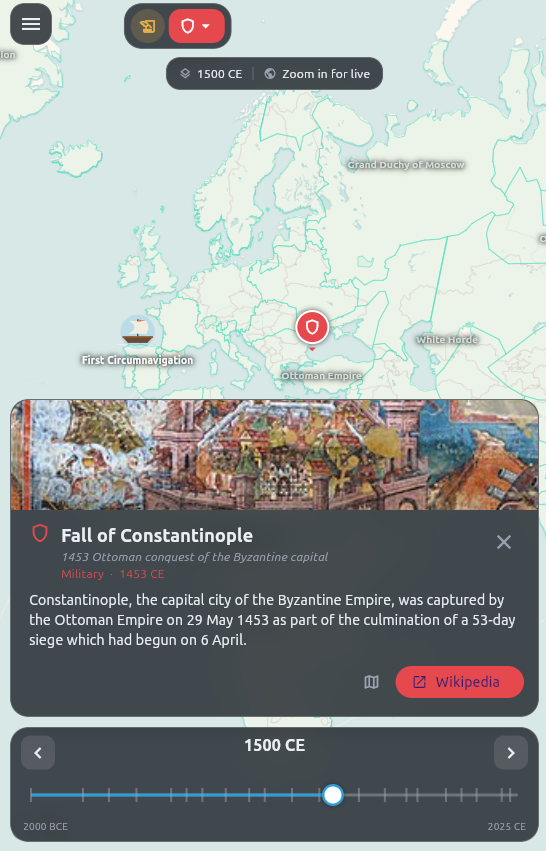
The join between when and where
History apps are timelines. Geography apps are maps. Understanding lives in the join: what happened here, then?
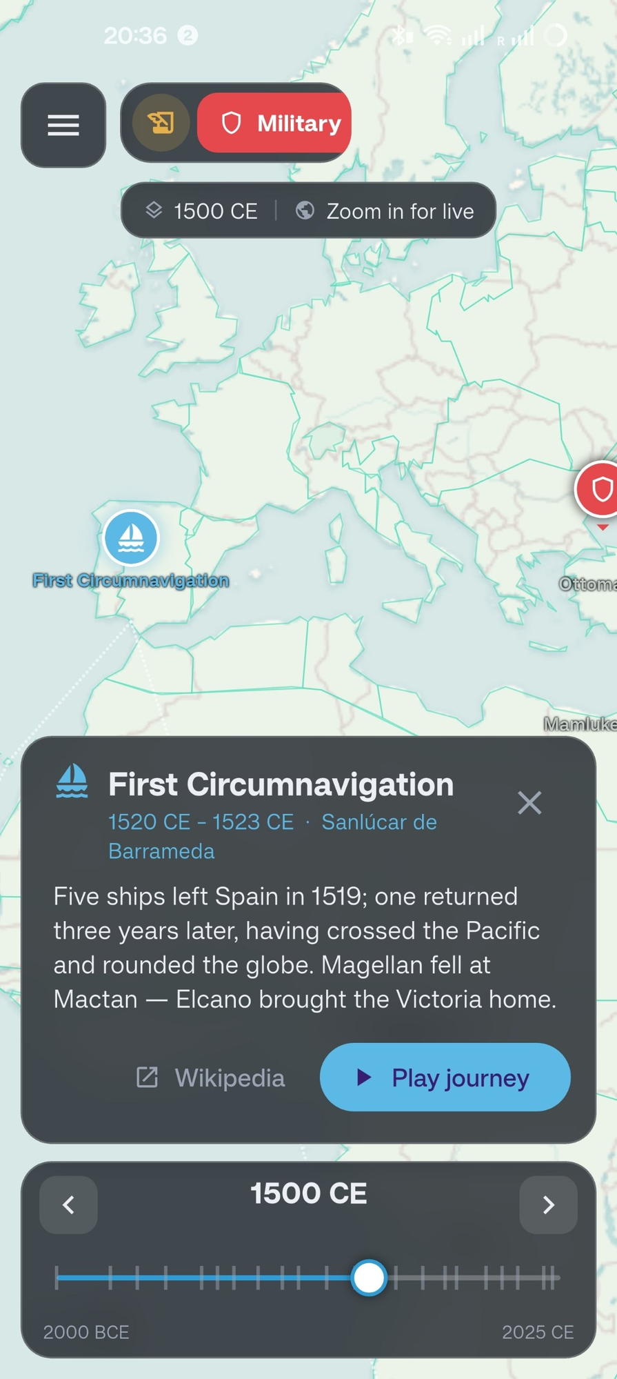
Events with stories
Every event carries a sourced card — Magellan's fleet, one tap from its Wikipedia article, with a Play button that animates the journey across the map.
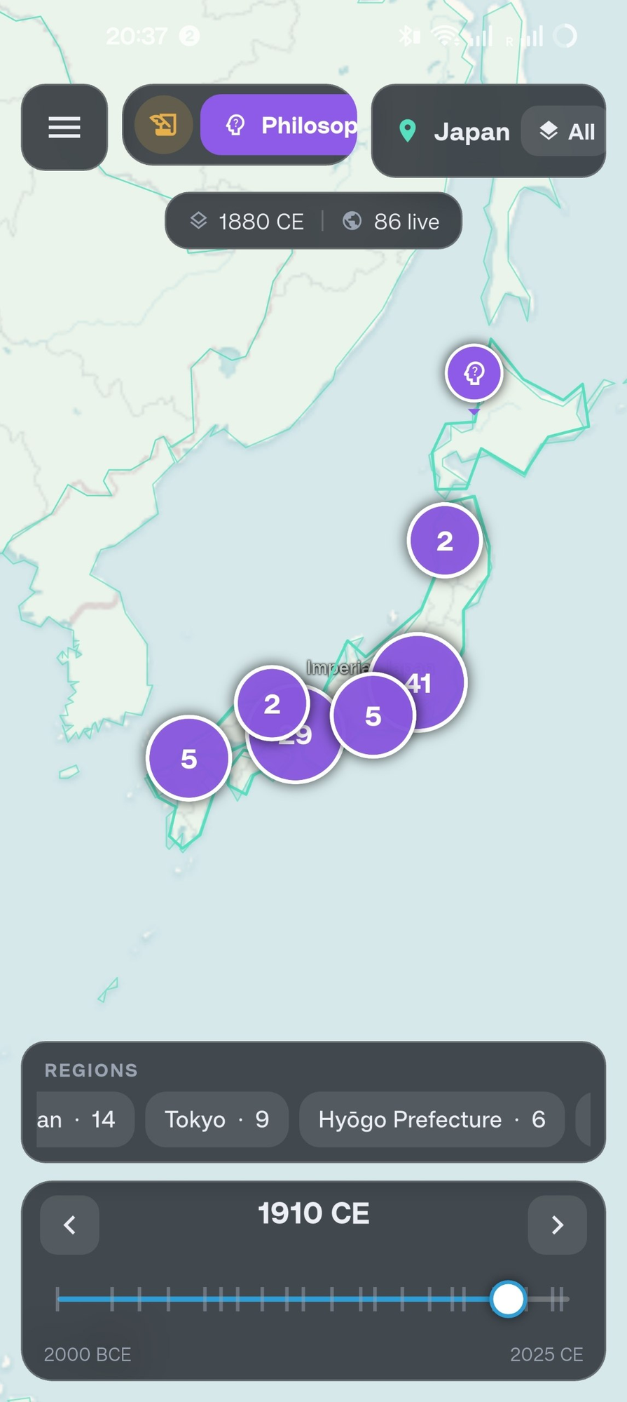
Live knowledge modes
Military history, philosophy, literature, medicine, disasters — each mode pulls live Wikidata, ranked by prominence and clustered so the map stays readable.
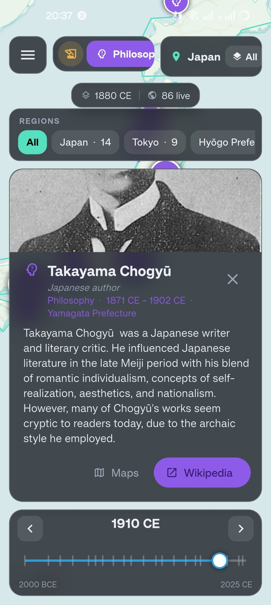
People, placed in time
Zoom into 1910 Japan in philosophy mode and meet Takayama Chogyū — photo, biography, and region chips that slice results by prefecture.
Under the hood
The cartography is hand-rolled where it matters.
Morphing borders
Historical border snapshots interpolate smoothly as you scrub — normalized from wildly inconsistent polygon sources.
Wikidata, tamed
Live SPARQL queries merged with a bundled seed dataset, cached aggressively and ranked by real-world prominence.
Procedural wonders
Fourteen architecture archetypes rendered entirely in code, animating construction and collapse as their era passes.